Live Connection GPS
|
List of Markers |
|
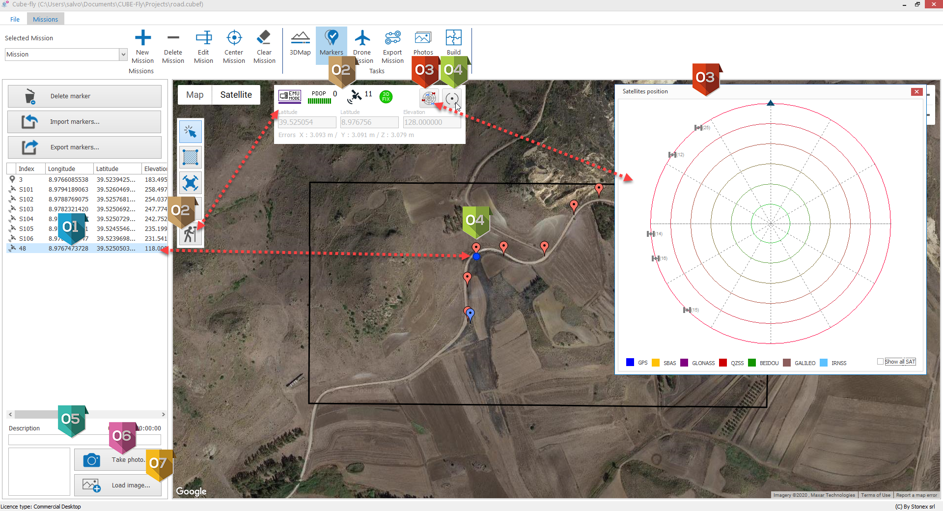
It allows to see the Live connection panel of connected GPS options |
|
It allows to see the map with available satellites |
|
When clicked it add a Marker in the actual GPS position. Using a Windows tablet connected with a GPS via Blue Tooth is possible to define the mission path and Markers usng the GPS with live connection, adding description and picture avoiding any additional task to save/export/import ascii files and coordinate system issues. Note: if you add Markers with this procedure but you are in EMUlation mode they will be added as GPS point but their quality is now enough to be used for Geo reference. |
|
Additional description to the Marker. |
|
It opens the camera of you device to add a picture to the selected Marker. |
|
It opens the file browser to associate a picture to the selected Marker. |


