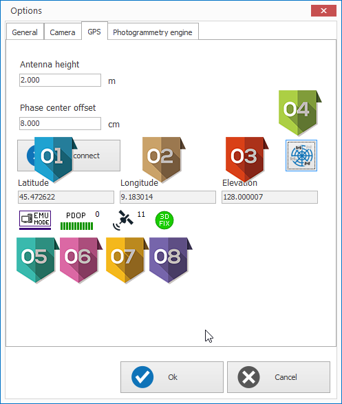
GPS Options
|
Height of antenna in meters |
|
Phase center offset in centimeters |
|
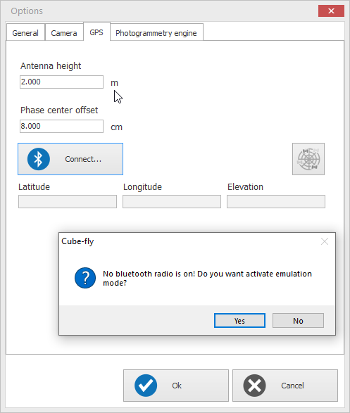
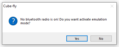
Connection Blue tooth with GPS, before to click be sure that GPS is switched on and, blue tooth is on and GPS is connected. You will see the list of Blue tooth device and you need select the GPS. In case the pc doesn't recognize the Blue tooth it will ask to emulate the GPS, it can be used for demo or training purpose.
Answering Yes you will see the following dialog |


GPS Connected
|
Latitude position in UTM projection |
|
Longitude position in UTM projection |
|
Elevation in Meters |
|
It opens the Satellite Map described as following item |
|
GPS mode: EMU : Emulation NO Fix: indicates that there is no satellite signal being received or there are not enough satellites available for proper location determination., it means the precision is very low SPS : SPS is the standard specified level of positioning and timing accuracy that is available, without qualification or restrictions, to any user on a continuous worldwide basis. DGNSS: indicates that Differential GPS is being used to proved increased accuracy over SPS. PPS : indicates that Precise Positioning System, encrypted for government use is being used by the receiver. PPS is the most accurate positioning, velocity, and timing information continuously available, worldwide, from the basic GPS. RTK Fixed :is a technique used in land survey based on the use of carrier phase measurements of the GPS, GLONASS and/or Galileo signals where a single reference station provides the real-time corrections of even to a centimeter level of accuracy. When referring to GPS in particular, the system is also commonly referred to as Carrier-Phase Enhancement, CPGPS. Float RTK : is very similar to the fixed RTK method of calculating location, but is not as precise, typically around 20 cm to 1 meter accuracy range. This decreased accuracy is offset by increased speed, since the time consuming initialization phase is skipped. |
|
PDOP (Positional Dilution Of Precision) is a quality index 0 is the best quality, higher is the number less is the quality 6 is worst quality |
|
How many satellite you can see with your GPS |
|
It indicate the kid of fix No Fix : the GPS is not fixing 2D Fix : The GPS fix only the 2D position 3D Fix : The GPS fix the 2D and 3D position |


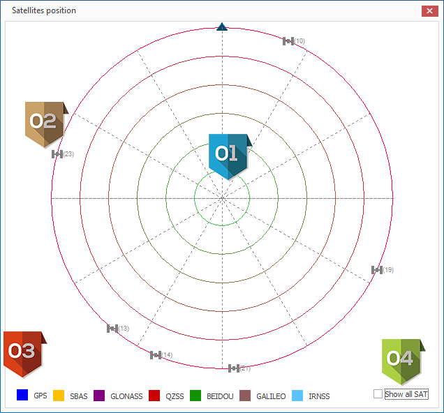
Satellite Map
|
Satellite reference radial grid: The center represents the GPS position Each radial line define an angle of 45° with the previous line to interpreter as horizontal angle position Each circle define some spatial distance in Z, more circles there are between the satellite and the center more is the Zenit, Example 1 circle : the satellite is on your vertical, 3 circles thhe zenith is 30° |
|
Satellite connected and (ID) |
|
The color of satellite define with kind of satellite it is as for the list Grey means that the satellite is Emulated Satellite |
|
"Show all SAT" if activated it shows all satellites found also if they are not used in the position calculation. |