Import markers
|
It deletes all Markers selected in the list. |
|
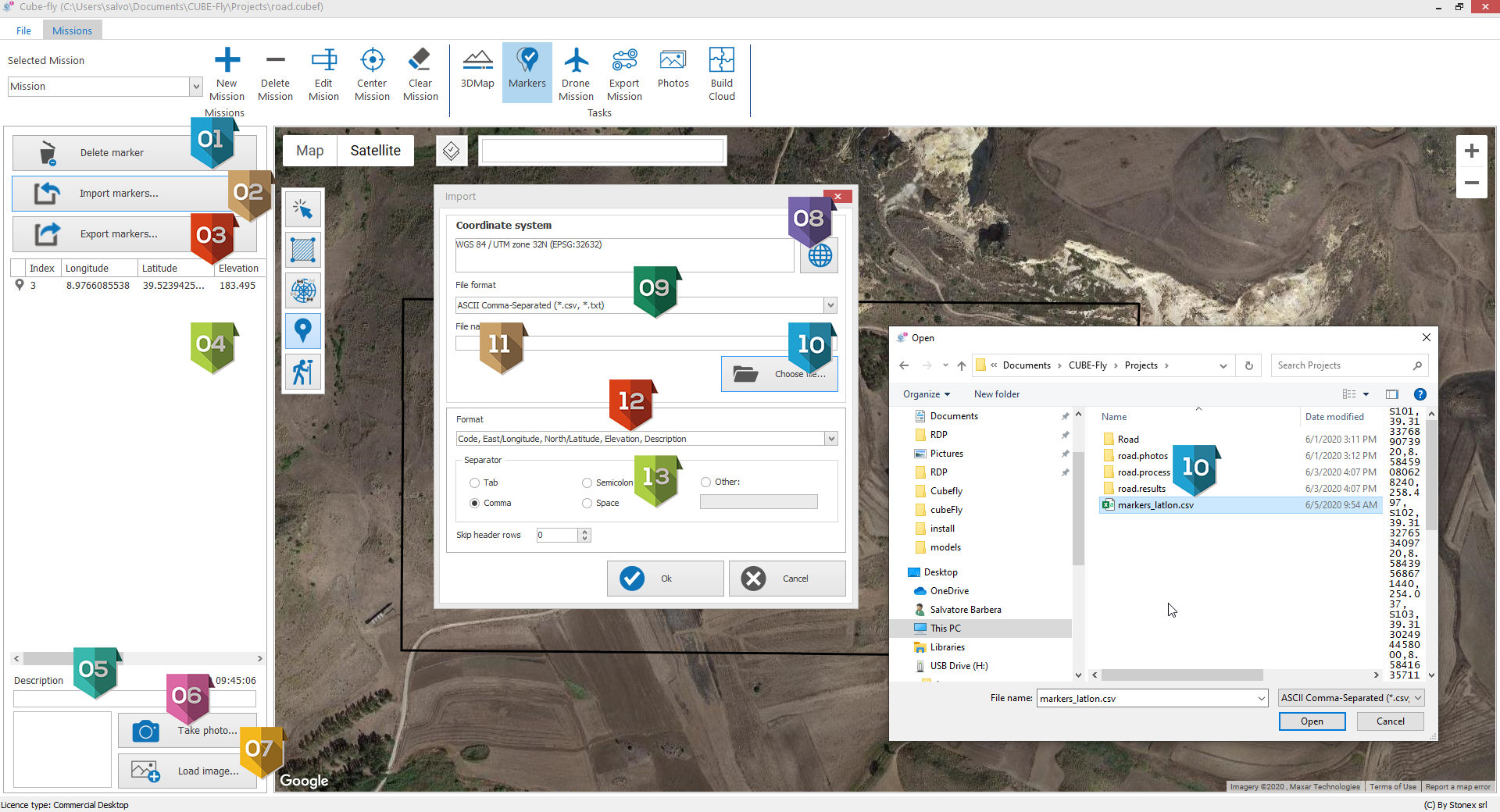
It opens the Open dialog that allows to import Markers. |
|
It exports all Markers in the list in a CVS file. |
|
List of Markers. |
|
Additional description to the Marker. |
|
It opens the camera of you device to add a picture to the selected Marker. |
|
It opens the file browser to associate a picture to the selected Marker. |
|
It open a dialog that allows to define the coordinates system, Local, Geographic or Projection. |
|
File type. |
|
It opens the file browser to select the file to import. |
|
If the Coordinate system is Geographic appear a selector that allows to select between:
For example for Stonex GPS need to select" Degree / Minute / Seconds" |
|
Format of data:
|
|
Separator used in ascii file |


