Export Mission
Refer to this video: Export mission and survey
|
Use a 3D model to create a terrain following mission. |
|
If the 3D mission has been created, delete it. |
|
If the 3D mission has been created, export it. |
|
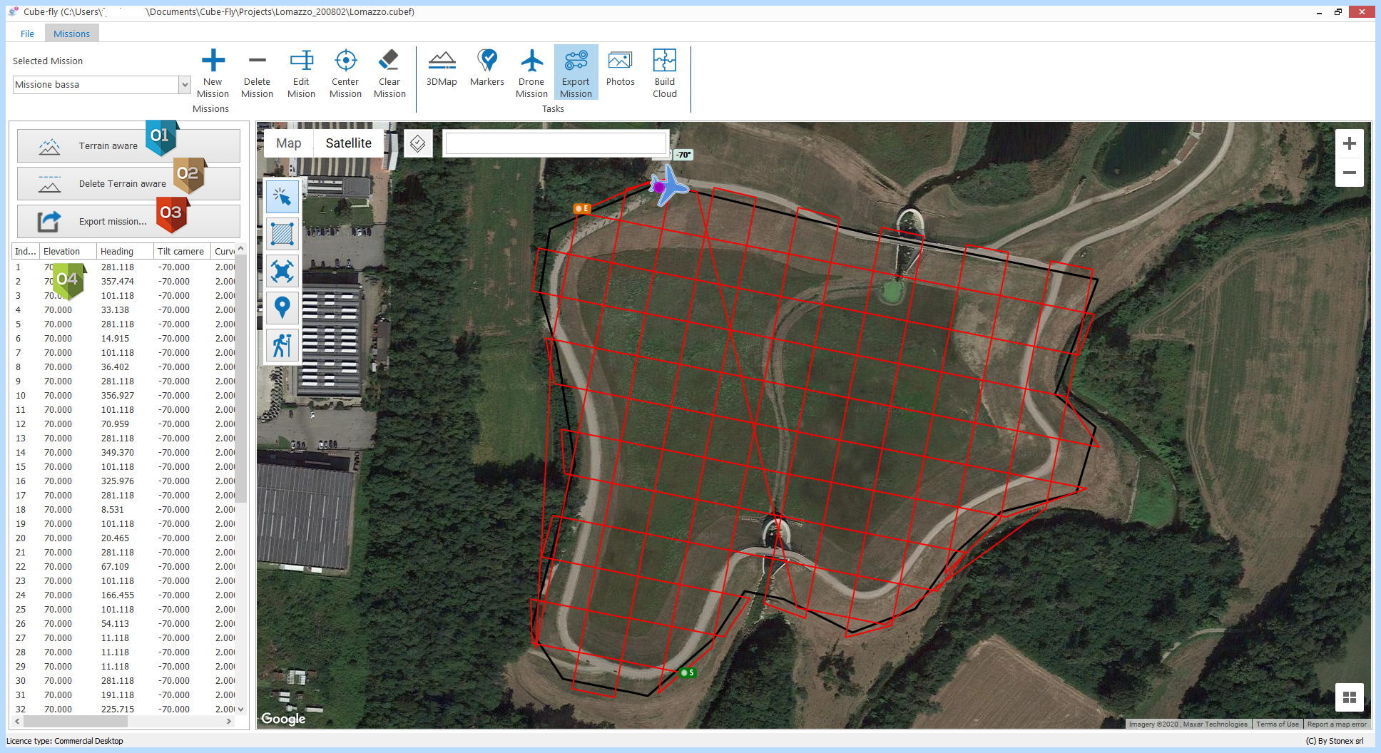
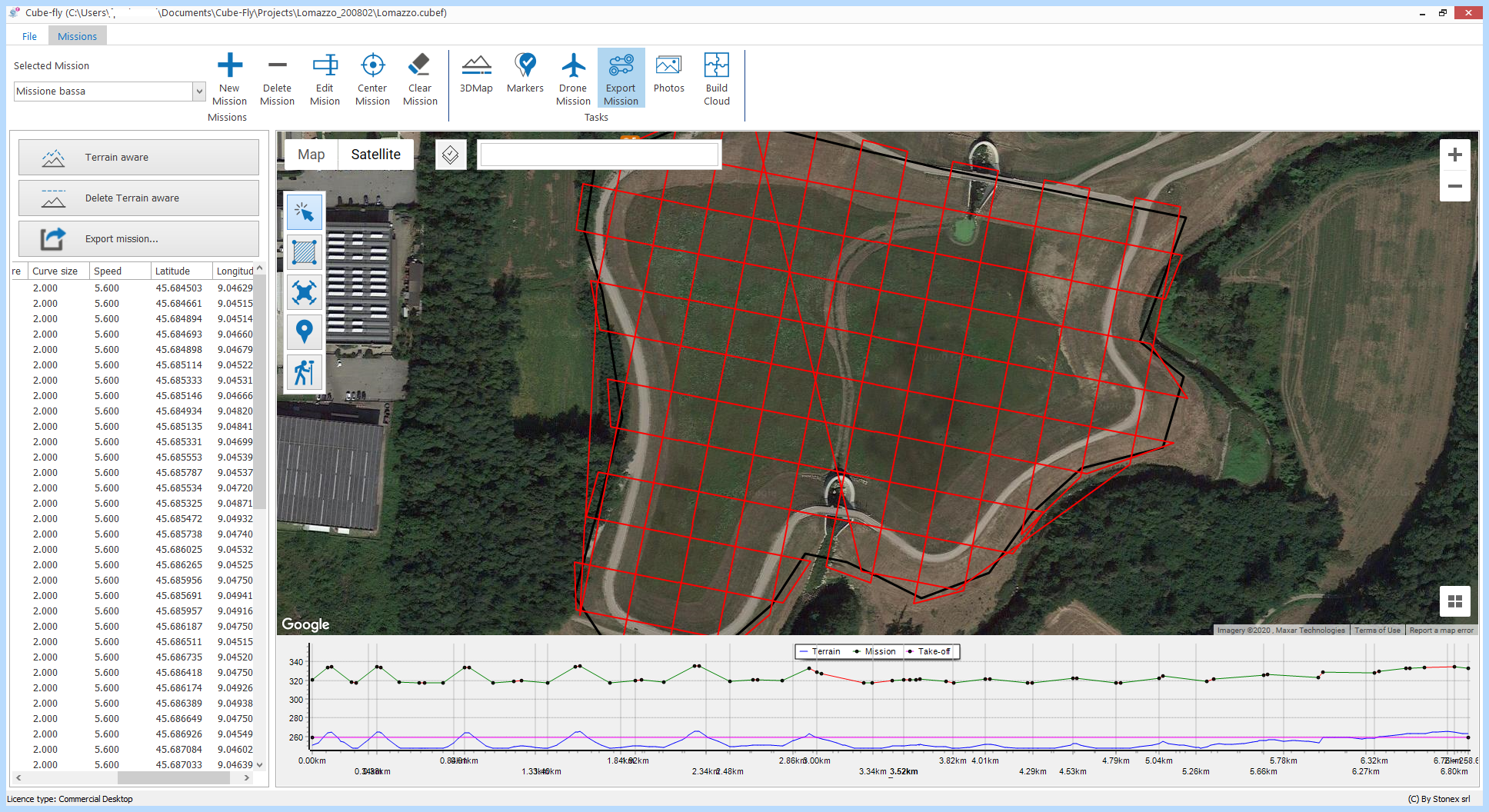
Table containing information about the way-points of the mission (elevation, heading, camera tilt, curve size, speed, latitude, longitude). Clicking on a row, the position is represented on the map by the airplane icon. |


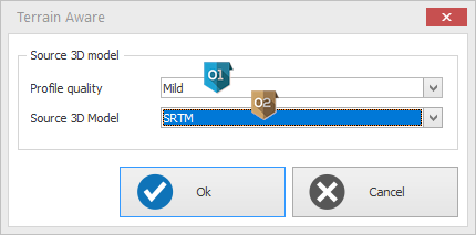
Terrain aware
|
Select the profile quality in accordance to your needs. |
|
The data source of 3D model can be: SRTM or Google map data or external DTM or a previous mission.
|

Once generated, the path of the mission is visible in the lower part of the screen:
- in blue, the ground trend
- in pink, the elevation of the take-off point
- in green, the 3D mission trend (it follows the ground). The dots represent the way-points.
Export Mission settings
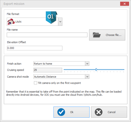
|
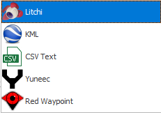
Select the mission format to export. It is possible to export native-formats (Litchi®, Yuneec® and RedWaypoint®) to can use third-party applications or the .kml and .csv formats: |