3D Map
Cube-fly supports the Multi Missions, it means that the user can define several zones where he can make a web survey o a drone survey.
Particularly interesting is to create a mission that includes spatially all other missions and use it to calculate the 3D terrain by web or Esri survey and use to make the terrain aware for all included missions.
|
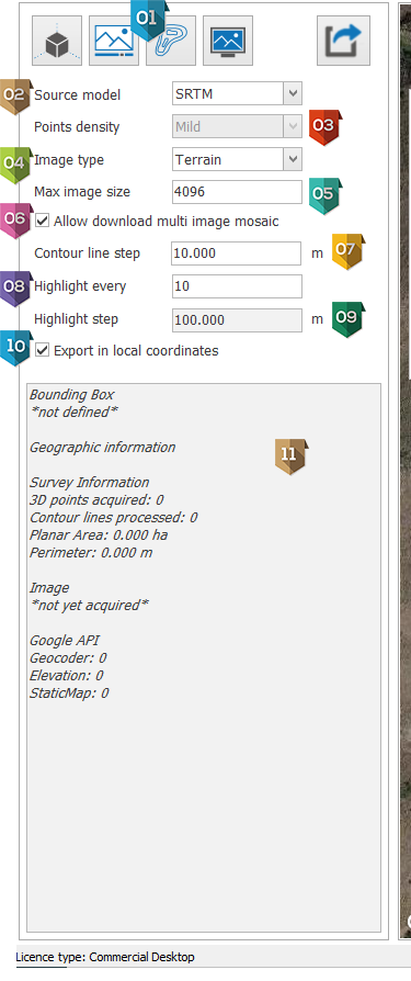
Command area to model the 3D map, it will be expored in the next item |
|
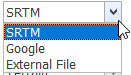
The data source of 3D model:
SRTM or Google data or ESRI grid file (External file)
|
|
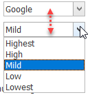
If the data source selected is Google it is possible to define the points concentration
In case of SRTM data source the concentration is approximately 1 point each 30 meters In case of Esri data grid the precision depends from the data set imported. |
|
The 3D map will create a 3D model level curves with overlapped a map that can be Terrain or Satellite according this parameter The 3D map can create also a 3D mesh textured by this image |
|
Image size in pixels of final production |
|
This parameter allows to download several images from Google map to make a high resolution mosaic.
|
|
Distance between Contour lines: for example 5 meters |
|
Step of main contour lines for example 5 (if contour line step is 5 they will be highlighted each 25 meters) |
|
Calculated value of parameter 9 |
|
IF checked the export will have as Origin 0,0,0 If unchecked the origin will be in geographic coordinate UTM |
|
Panel where are showed all information of web survey |