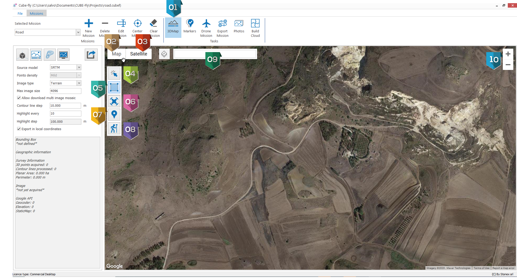
3D Map
Cube-fly supports the Multi Missions, it means that the user can define several zones where he can make a web survey o a drone survey.
Particularly interesting is to create a mission that include spatially all other missions and use it to calculate the 3D terrain by web or Esri survey and use to make the terrain aware for all included missions.
|
Button to activate Map tab |
|
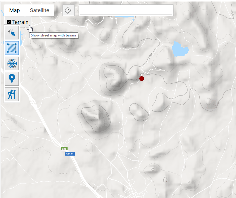
If activate the Map will be showed as terrain:
|
|
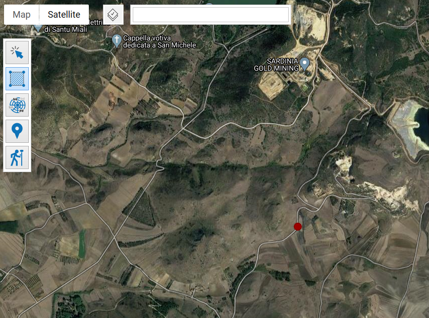
If activate the map will be showed as satellite and you can activate also the labels:
|
|
Tool to select entities |
|
Tool to draw a zone |
|
Tool to define take off of drone |
|
Tool to add markers by google map |
|
Tool to add markers by GPS live |
|
Search area by address for example: Avenue de France Paris |
|
Zoom in / out, it can be performed also by rotating the wheel mouse Pan is performed by clicking wheel mouse and moving the mouse |