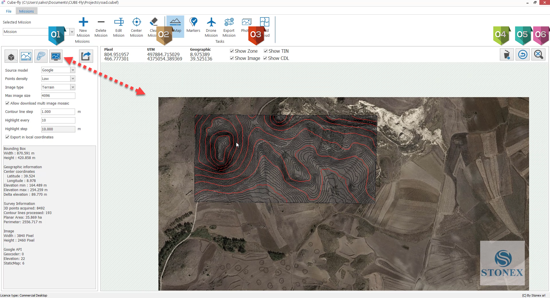
3D Map creation
Cube-fly supports the Multi Missions, it means that the user can define several zones where he can make a web survey o a drone survey.
Particularly interesting is to create a mission that includes spatially all other missions and use it to calculate the 3D terrain by web or Esri survey and use to make the terrain aware for all included missions.
|
It activate the Map offline navigator |
|
Zone where are displayed the coordinates in pixels, UTM and Est North |
|
Tools to show / Hide the boundary of mission, Contour Lines, TIN and Image |
|
Tool to delete 3D map calculated and all results |
|
It closes the 3D map navigator off line and go back to Google maps live |
|
Tool to fit the whole drawing to the full screen |


